Tuesday, 2 May 2017

The Kinchega Sojourn

Here we are, just after dawn in a rest area across the border into South Australia on the Barrier Highway.  It's sun-up and I'm sitting up in bed looking out across a wide expanse of plains with emus, kangaroos and the occasional patch of sheep, competing for the fresh pick after the rain that has been through lately.  Well, at least we saw all that activity yesterday after leaving one of the best camps we've experienced, Kinchega National Park on the Darling River, near the Menindee Lakes and then travelling back through Broken Hill for supplies and whatever.

Below is a view of our campsite on the Darling, at the junction with Menindee Creek running into it.
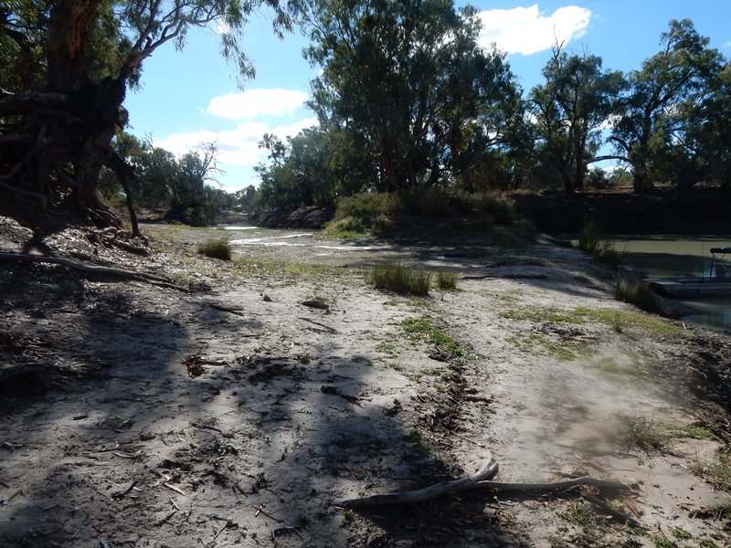


We stayed at Broken Hill for 4 days, waiting for the national park to re-open after some heavy rain the week before. The dirt roads in the park become impassable after heavy rain.


That's our camp.


And this is after another night of rain, the second night after we got there. You can see I've brought the X-Trail in closer to the van door awning and inserted a ridge-pole under the Darchie awning to give it some run-off.  I had the canvas floor down over what was dirt and became mud (I had to dig a small moat round it!)


We've dried out and got into the fishing and yabbies.  That's our campfire in the concrete fire-pit provided and M with the poetry pad.  You can see in the background a vehicle belonging to a local, named "Tex" - that's all he gave us by way of a name, but he gave us lots of good information about the fishing there.

And later in the night a taste of yabs cooked over the campfire:


That's our view down the Darling:


The work never lets up, though. That's me chopping the firewood


 and on the right working on the fishing gear (that river is full of snags!)


With that extra rain, it turned out that the park was closed again - with us penned in.  Not a problem, though.  We were happy fishing and enjoying the place, no-one around, just the birds, those old River Redgums and the Darling River flowing by. I did exert myself a bit and got out the paintbox.

When the roads became passable again, we visited the old historical woolshed further around in the park:


The photo of the old steam whatever-it-was is for John M.  Congratulations, John on the success of the train conference over Easter.


Back to the fishing - mainly M's exploits:


M's first yellow-belly, then, her third (that tackle box is 450mm wide)


"...which way to the river??"


M:   I'd hoped to get away from politics on our travels, but it creeps up on you.  On our drive along the Darling through Menindee I noticed all the derelict grape vines.  Most had their trunks sawn off.  There were still a few producing along the river but those away from the river were long gone and unproductive.  It finally dawned on me that these were the Menindee Seedless grapes that we rarely see in shops now.  Once they heralded summer and my family loved them. I'm not sure why we don't see them much now but a series of large white crosses along the road to Menindee Lakes lookout told a story.  On the crosses were the letters "R I P" with the MDBA Murray Darling Basin Authority being the cause. It seems the flora, fauna and grapes have suffered because of political decisions that gave water to the upper Darling leaving little left for the lower Darling producers.  The locals are very upset about their lake and water supply and the river now.  We thought the river was beautiful although the banks were very high.  In full capacity it must have been spectacular........Don't want to sadden the blog.  Our travelling is fantastic, but this is also the reality for other  Aussies trying to make a living in this area.

Just loved Kinchega Nat Park and the Darling and camping alongside it.  Was a dream come true for me - the old trees with lots of hollows for birds....the enormous Whistling Kite nest that we could see and the sound of the pair calling to each other as they swooped down over the river.Majestic and breath-taking!  Ron makes a great camp, so organised, neat and practical for our every need.  He didn't do so well in the fishing because he was mostly rerigging our lines.  There were lots of snags.  We will go again for a longer time next year.  Fantastic painting spot.  The light and colour were inspiring.

Finally the eight very special days came to an end and we had to press on.  The photo below shows our campsite up on the high river bank, overlooking this lovely spot.


Saturday, 22 April 2017

The Big Loop again ... The Ladybug Loop 2017


Time to go ... dawn at Sancrox, near Port Macquarie, looking out the front window of the van on Wednesday 12 April, 2017.  We helped son Pete clean up after his 50th birthday party held around the fire pit, ringed by many of the guest's camps, on his property, There were somewhere upwards of 140 guests, many camped on the property like we were. It was then on the road in the Ladybug!

Some of these first few days have been a bit torrid - we returned south down the Pacific Highway, swapped a few things at home, things we could do without and a couple of things we forgot, then headed West on the Golden Highway. The first stay was for a couple of days at a free camp in Jerry's Plains, right on the edge of town (very popular with travelling caravanners and campers).


That was too easy - we weren't getting West quickly enough, so it was on to Merriwa by Saturday night so we could get to church for the Easter Day service the next day, pressed on to Dunedoo and turned off the Golden Highway there with the intention of bypassing Dubbo and stopping at a free camp we knew by the river at Mendooran.

We decided at Mendooran that we should go on a bit further towards Gilgandra before nightfall, then via Warren and back to the Mitchell Highway at Nevertire ... renewal of lesson number one in navigating - take your time and get it right!  We missed the Gilgandra turn at Mendooran and veered back Southwest towards Dubbo!  By the time we worked that out we had to find an alternative camp. We got lucky then and found a Conservation Area by the Macquarie River called Terramungamine.


(The lower picture is of aboriginal sharpening grooves in rocks by the river. This area has great significance for the local people)

We were back on track the next day heading West. The pictures below (in order) are of our camps between Nyngan and Wilcannia, and then of the Darling at Wilcannia (Note: You can enlarge the view of any of these by clicking on them).


That middle one we called the BB camp - Bugs and Burrs!

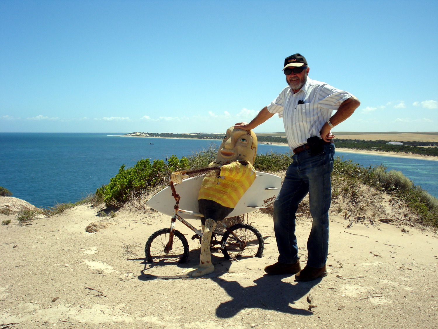
Wet weather then set in, stopping us from going down to Menindee (Kinchega NP) so we have been doing it easy in a van park at Broken Hill for 3 nights - hence the photos below from our visit today to the sculptures in stone on a hilltop a few kilometres outside of town


The roads have re-opened in Kinchega National Park, so we are off again in the morning (Sunday 23/4/17).   More news down the track.

... Ron and Marilyn

Saturday, 17 November 2012

The Run Home


Our last blog post took us to Port Lincoln, on the bottom of the Eyre Peninsula in South Australia. The plan was to rest here for 4 clear days in readiness for the run home by the most direct route via Port Augusta, Peterborough, across the SA/NSW border  and via the Barrier Highway through Broken Hill to Dubbo and down the Golden Highway to home, in one week, about 1800 kms.

The rest-break at Port Lincoln was good, we had a site in the van park that looked down over Boston Bay and with the annex up but opened down the entire side facing the water, we had a sunny aspect sheltered from the prevailing winds, very enjoyable. But time was up and with everything packed and stowed, we left Port Lincoln at 7.20am Sunday 11.11.12.

With a few stops for a brief look at some of the places up the eastern side of the Eyre Peninsula, including by chance right near the War Memorial at Cowell where we paused for the 11am Rememberance Service, we pressed on to the first camp at the junction of the Lincoln and Eyre Highways, not far short of Port Augusta. It was blowing hard and hot in the late afternoon, but there were other ‘van travellers also stopped for the night so we shared some company and turned in. With all of the windows and curtains wide open, I think the very cold change in the middle of the night gave us the colds that we are still fighting!

Monday it was on to a camp at Olary Creek, still in SA but not far from the NSW border at Cockburn. It wasn’t much of a camp, “rubbish” country, remote and no one else there but we were well back and okay for the night. Tuesday, we crossed the border back into NSW, the first time for 5 months, through Broken Hill with a short shopping stop (mainly a chemist for anti-cold supplies), and then on through Wilcannia to the third camp, a rest area 173kms before Cobar.  It’s a lot of straight roads and open country along this way, plenty of emus and wild goats!

We were getting ahead of our estimated daily runs and were at the rest area east of Cobar mid-morning on Wednesday where we had thought we would camp that night. A rethink over a cuppa resulted in a change to go on through Nyngan to Nevertire and swing left into a loop that would take us through Warren (near Haddon Rig sheep station that my mum had grown up on), Gilgandra (where I competed in the Gilgandra Gift professional running meetings a few times, many years ago) and via Mendooran back to Dunedoo and the Golden Highway from Dubbo.

This deviation was only about 50kms extra and cut out Dubbo and the busy roads around there. It was a beautiful drive, good roads and quiet, well worth it. We finished up camping Wednesday night at a good spot between Nevertire and Warren. What an impressive little town, Warren is, with special facilities for ‘vans and campers, lovely fresh water on tap, well signposted in a park, and a dump point for portable toilets nearby.
Thursday’s run got us as far as Battery Rocks rest area, near Merriwa. That was as much as we could do, both battling these infernal colds still. On Friday morning we battled through all the heavy vehicle coalmining traffic through Denman, Muswellbrook and down to Singleton. What was a very pretty drive one time is just devastated landscape now. We were pleased to get away from it all and turn left at Singleton and go on further that way to the farm where our caravan now lives.

We got to the farm about 11.30am Friday and have laid low here for a couple of days to get over these colds. It will be home to Warners Bay tomorrow, Sunday 18 November 2012, a bit over 5 months and almost 20,000 kms since we left in June.

The final round of photographs appears below. Don’t forget you can enlarge any of these images with one click of the mouse on them, all the way through the blog postings.

For those of you who have watched regularly, or maybe just occasionally, and for the interested comments, thank you from us.

‘Bye for now,
R and M

In the annex at Port Lincoln, during the 4 day break

one of the many emus, west of Broken Hill

Sun-up through the window of the van at the camp between Wilcannia and Cobar

During a break in a rest area at Mendooran, on the Castlereagh

Same place - Merv and Narelle this would be an ideal camp on the way to Menindee Lakes next winter??

The last camp of the trip, Battery Rocks near Merriwa

The rock formation that gives "Battery Rocks" its name

Driving back through the farm gate - the trip is over!

Its raining at the farm, hence the tent and tarp set-up for the transfer of the gear in the morning, to leave the van and go home

Friday, 9 November 2012

Cape Le Grand to Port Lincoln

Our last blog was done at  Norseman, in a bit of a hurry trying to stay ahead of imminent bad weather to cross the Nullarbor, after leaving Cape Le Grand National Park, east of Esperance. Well, we crossed happily over the next four days with some sunshine, a little rain and lots of wind, mostly across or behind. We camped in rest areas, at "Baxter" camp on the 90 mile straight before Caiguna, then another near Eucla and one east of nullarbor roadhouse, before motoring into Ceduna in South Australia, the first town we had seen in four days.

We were sad to leave Western Australia at the border crossing near Eucla. It is such a big State, and we had been working our way around it since 21 July when we crossed from the Northern Territory to Kununurra, 10,000 kilometres back. There has been so much to see and experience in Western Australia and we will have so many lasting memories from there, places and people.

The trip across the Nullarbor is a very impressive experience especially for the first time (for M). The long straight road, particularly the 145 kilometres without a bend that is the longest straight stretch of road in Australia, the low shrubs on the "Treeless Plain" (it isn't desert - its really quite interesting) and the view of the Southern Ocean in The Bight from those 300ft cliffs are parts of that experience.

We restocked our fruit and vegies at Ceduna, after reducing these to zero before the quarantine station coming into there (we had to have a cook-up of the last of it for lunch that day, fried tomato and onions etc)

Our plan has been to explore the Eyre Peninsula down around to Port Lincoln and back up the eastern side, looking forward to some fishing and seafood along the way. We stopped five days at Smoky Bay, caught some fish from the jetty, Tommy Rough (Herring) and Trevally, plus 7 Blue Swimmer crabs one day and 12 the next, bought a few dozen oysters in the shell from one of the many oyster sheds in the area and it took some days to clean all that up! M had great fun especially working the dilly pots off the jetty for the crabs - she said she had never found it so easy to catch crabs.

We are now at Port Lincoln for four full days, in an elevated site looking south-east across Boston Bay, with the annex up to shelter from the cool breeze but open all along the side facing down to the bay. We are using this time to catch up with paintings for me and the baby quilt for M, for the new grandchild due in a few weeks. It is basically the last real break we will take before a succession of long days and bush camps across through Broken Hill, to be home by Sunday 18 November. Boston Bay mussels are on the menu for tomorrow - the end of our wining and dining, enjoying the local produce as we go.

There are lots of photos below, some that were not included in that rushed episode done at Norseman. The captions will take you through our travels as far back as Cape Leeuwin, in the Margaret River corner, up to here. This will probably be the last blog. It's a bit sad really, but all good things must come to an end.  We are planning other (shorter) trips already.


Some cows for the kids, Margaret River


M on the Cape Naturaliste to Cape Leeuwin Walk, Leeuwin Lighthouse to Skippy Rock section, peering out of the thick scrub back to the lighthouse

This caught my eye on the way back to the carpark in Walpole NP - I did a double-take at seeing that sort of language on a vehicle, until seeing it more clearly (next photo)

Nothing wrong with that - just me jumping to conclusions
Our campsite at Cape Le Grand - snuggled down out of the wind (very necessary)

A bit more indication of the wind - the heavy weight of the old picnic table was a bit of "insurance"


The view of Mt Le Grand from just above our campsite. We walked up the dozen steps to where this was taken from to get a mobile phone service

The track down to the beach from near our campsite - the white sand and turquoise water so striking

A paint sketch was called for

A monument plaque further east in the park

This beach nearby was totally covered by seaweed, very thick

Flowering gum in the park

Thistle Beach - we saw the people swimming and went back for our togs. It was very cold, but what a lovely spot

Frenchman Peak, one of the 3 main mountains in the park. That is daylight you can actually see through the middle of the cap. There is a path to climb this one (we didn't!)

Part of the 90 Mile Straight on the Nullarbor

Baxter camp - there were at least a dozen rigs here the same night, with storms all around us

The cliffs from a lookout on the Nullarbor

Looking the other way, same lookout

The van parked at the lookout. Yes I was on the wrong side of the fence, but well back from the edge

The overhang shows the reason for the fences. The carpark is just out of shot to the left

Say no more!

Smoky Bay oysters....

More of the good fare from Smoky Bay (we caught the crabs, but bought the oysters)

We drove in and around a 5km "clifftop drive", with the van on, near Elliston on the way down to Port Lincoln. This was at one of the view points

M into the act as well

These were at another view point. Not sure why..

And finally, our camp in the van park at Port Lincoln. From the sheltered annex we look down across Boston Bay. A very nice spot in the warm sun!